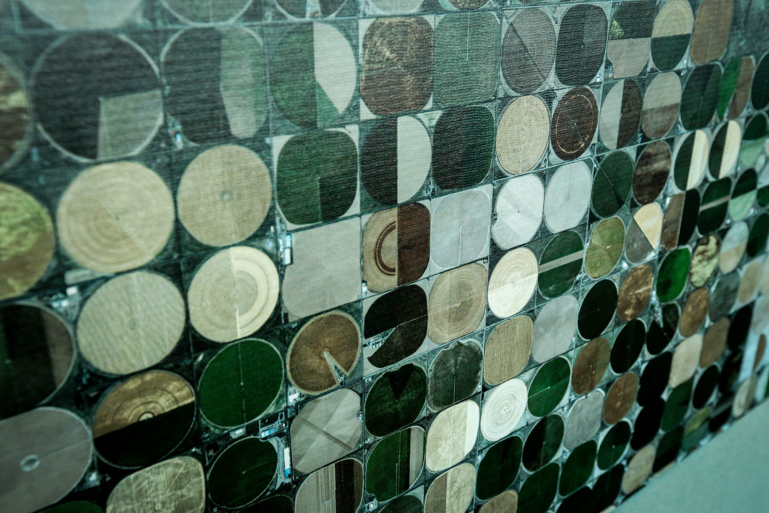
Irrigation crop circles and some of the other images in a new exhibit at Denver International Airport may look familiar to window-seat fliers – but these images of iconic Colorado locations are all taken by satellites.
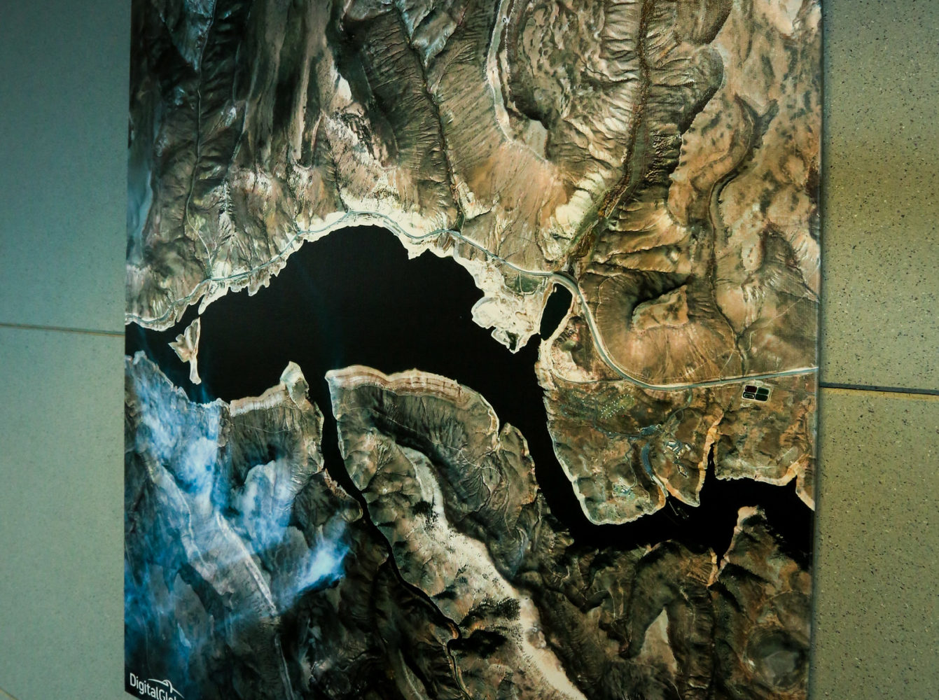
“The Centennial State from Space”, produced by Westminster, Colo.-based DigitalGlobe and on loan from the Wings Over the Rockies Air & Space Museum, includes high-resolution satellite images taken from five different satellites positioned more than 400 miles above the Earth.
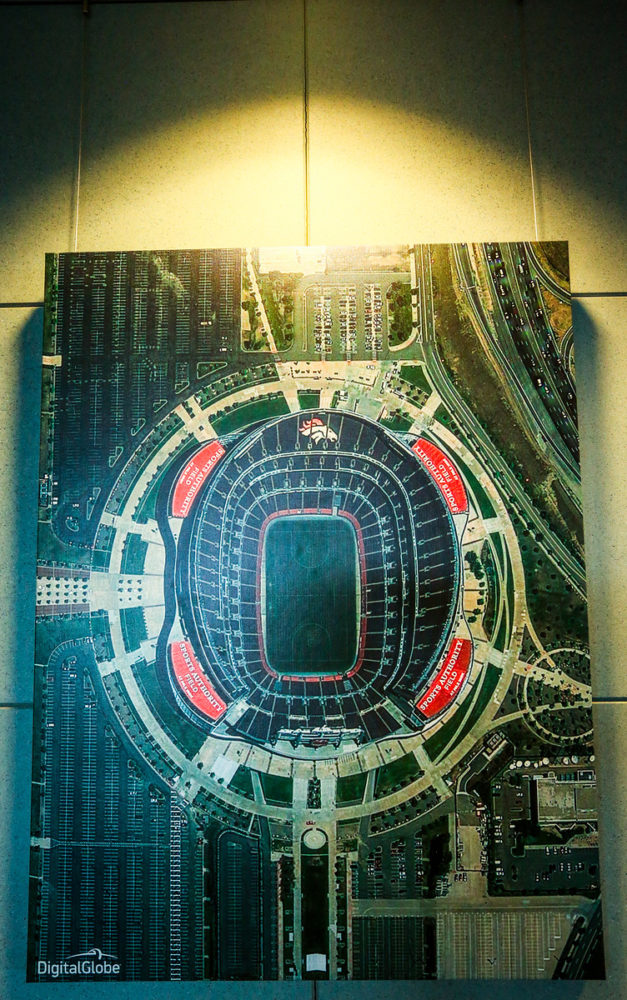
Look for Coors Field, the Air Force Academy, agricultural fields in Monte Vista and more at Y-Juncture Gallery, located just past the A-bridge security checkpoint along the pedestrian walkway. The gallery will be in place through September.
(All photos courtesy Denver International Airport)
