If you’re a serious traveler, you likely love maps.
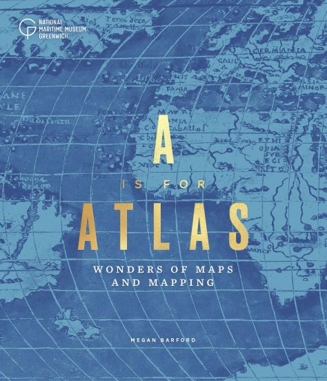
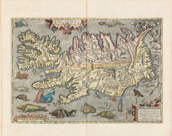
And if you love maps, you’ll love the maps in a new book from the National Maritime Museum in Greenwich, England that celebrates the art of atlases with a look inside the museum’s collection of maps, globes, and map-related ephemera.
A is for Atlas: Wonders of Maps and Mapping, is a highly illustrated celebration of cartography from the thirteenth century to today.
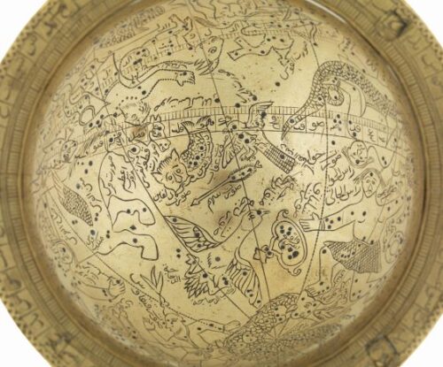
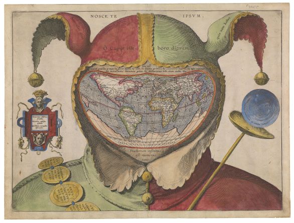
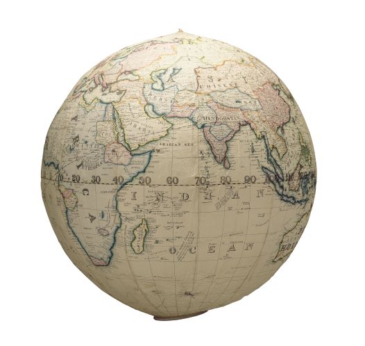
The book draws on the museum’s collection of more than 40,000 maps, charts, globes, and atlases, including a sixteenth-century map of the world replacing the face of a jester, a nineteenth-century inflatable globe, and a twentieth-century waterproof map that saved lives during the Second World War.
The oldest object in the book is a manuscript map of Mesopotamia by Abu Ishaq Ibrahim ibn Muhammad al-Farisi al-Istakhri, dated before 1282. Mountain ranges are illustrated in a deep red with floral and geometric patterns, while the rivers Tigris and Euphrates flow across the page in a majestic blue.
The most recent object is a football globe made for Mark Wallinger’s First World War centenary artwork, One World by Mark Wallinger. This 2018 football is a photographic representation of the Earth as seen from satellite imagery. This globe was commissioned to mark the centenary of the First World War, commemorating the ‘Christmas Day ceasefires’ that took place on the Western Front in 1914.

Rather than approach the collection chronologically, A is for Atlas draws on the collection in twenty-six themes, including ‘commemoration’, ‘manuscript’, ‘sea monsters’ and ‘treasure’.
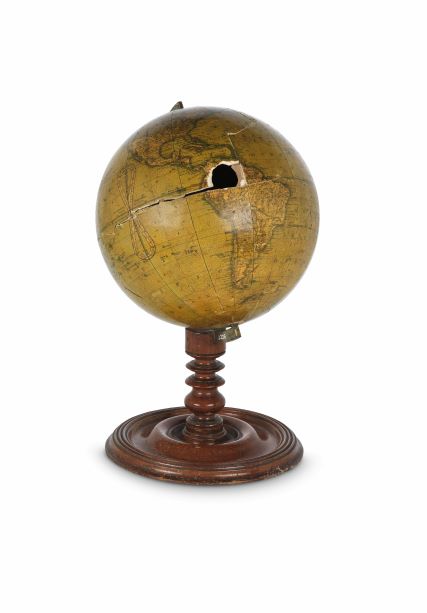
The book also shows the results of an investigation into a nineteenth-century globe. An endoscope was fed through a hole in a Newton & Son terrestrial table globe from 1842, offering Dr Barford an unusual view – the inside of a globe. The investigation revealed proof pages from various books of the Bible lining the inside and supporting the papier-mâché hemispheres.
All photos courtesy National Maritime Museum, England