Anyone who’s looked out an airplane window will surely have wondered about – and wondered at – the landscape below. Mary Caperton Morton has clearly done that and put together a book that goes a long way to explaining how those great views got that way.
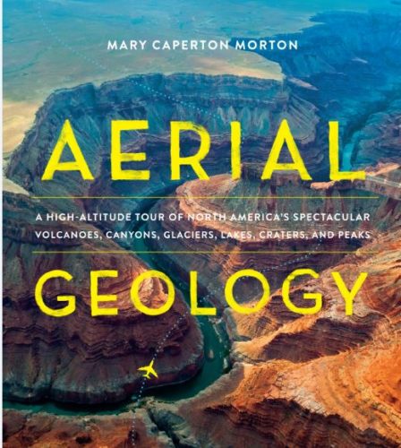
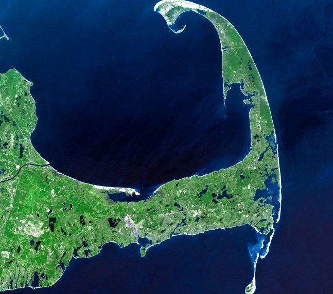
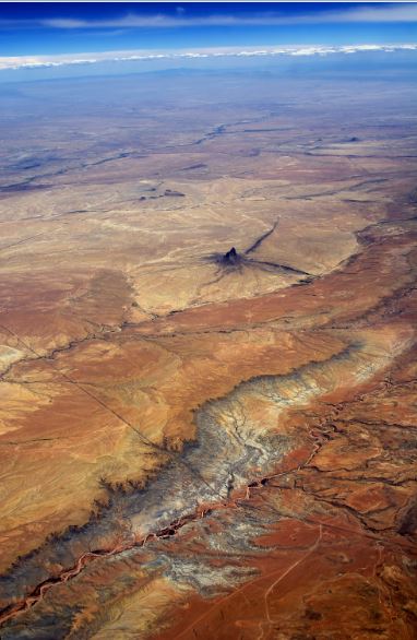
Aerial Geology: A High-Altitude Tour of North America’s Spectaular Volcanos, Canyons, Glaciers, Lakes, Craters and Peaks (coming soon from Timber Press) is filled with incredible images, descriptive illustrations and fact-filled, geology-based explanations of how each site was formed and what makes each landform noteworthy.
I love all the photos in this large-format book, but one of my favorite features is the little box by each landform titled “Flight Pattern” that lets you know where you’d be flying when you’re most likely to spot the image featured.
Here are couple of images from the book:


